Challenge: Democratizing access to geospatial analysis
Geographic data analysis traditionally requires specialized GIS knowledge, complex SQL queries, or expensive proprietary software. This creates a significant barrier for urban planners, researchers, and decision-makers who need spatial insights but lack technical expertise. Even simple questions like 'which neighborhoods have the highest population density near public transit?' can require joining multiple datasets, writing spatial SQL, and manually configuring map visualizations.
At the same time, cities and regions are sitting on rich collections of open geospatial data — administrative boundaries, infrastructure networks, socioeconomic indicators, environmental layers — that remain underutilized precisely because accessing them demands so much technical overhead.
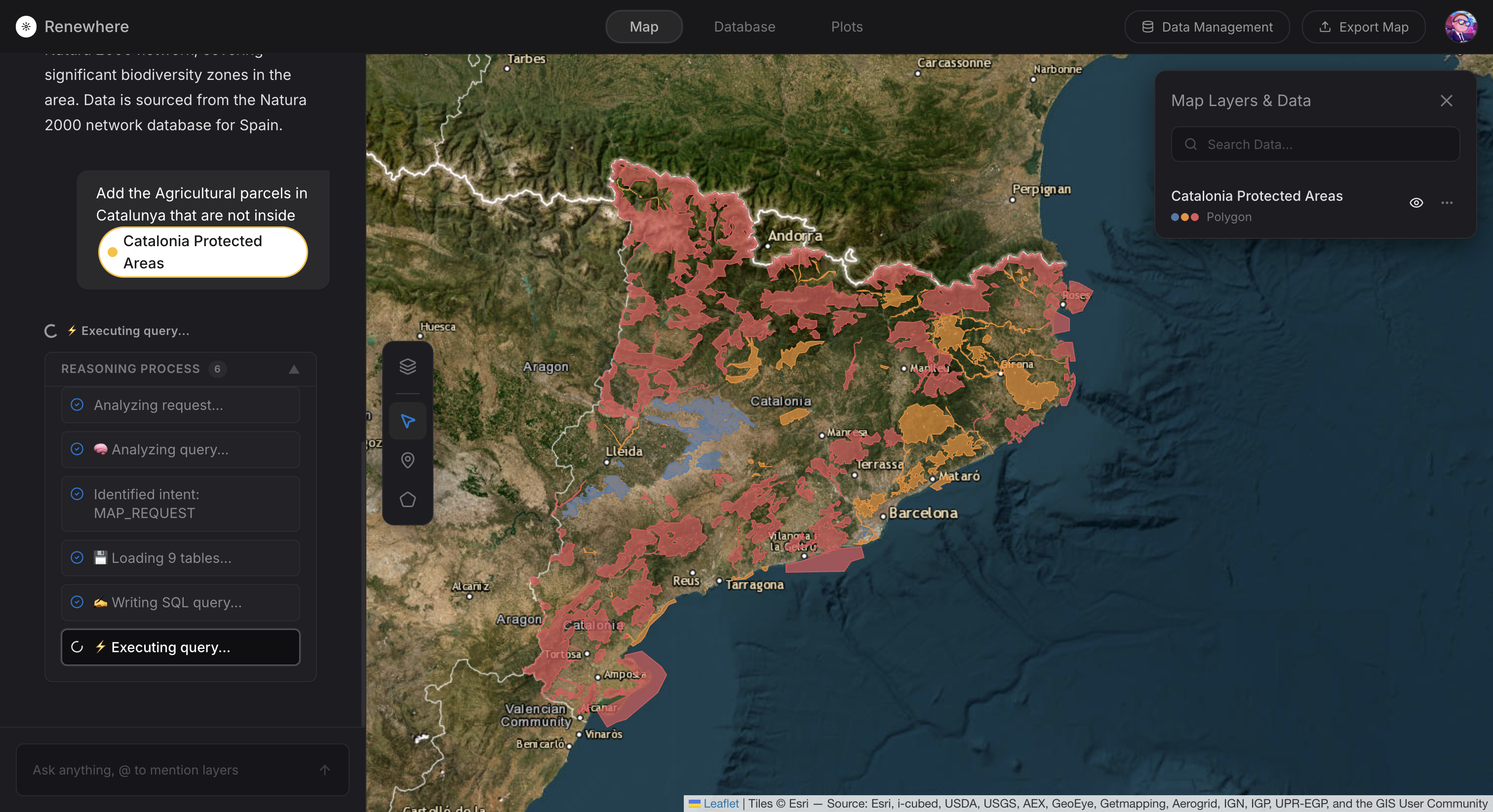
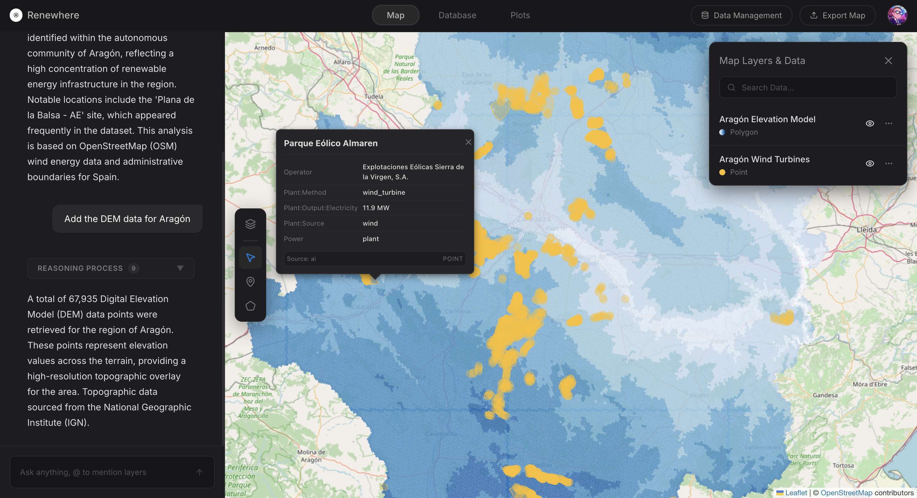
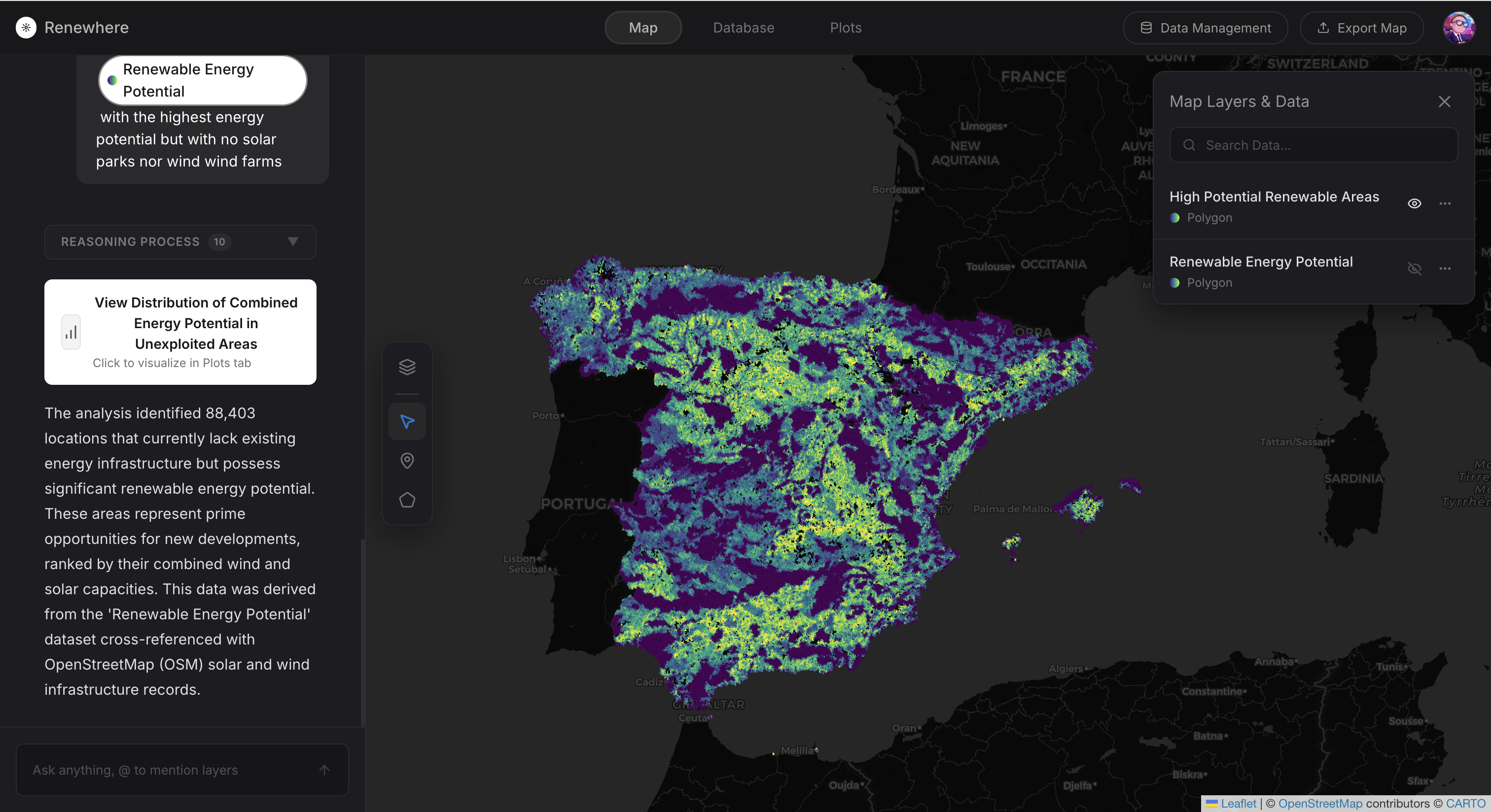
The challenge was to create a system that could understand natural language questions about geographic data and automatically generate accurate spatial queries, visualizations, and explanations — making territorial intelligence accessible to everyone, regardless of their technical background.